 |
Home About Directory Conservation |
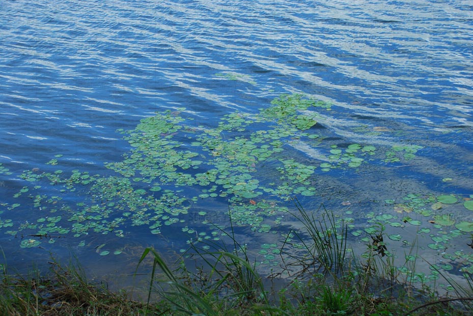 |
Giant’s Tank Giant’s tank is a large ancient irrigation tank situated in the northwestern semi-arid zone. It belongs to three AGA/DS divisions and feeds 162 minor tanks, 61 of which are in Manthai West. The tank irrigates about 11,000 ha of paddy land. At the end of the monsoon season, excess water is stored in a tank upstream (Tekkam Anicut) and used to irrigate an additional 2,500 ha. Giant’s tank directly benefits 2,560 farm families. It has also been identified as an IBA by BirdLife International. |
| More details Maps |
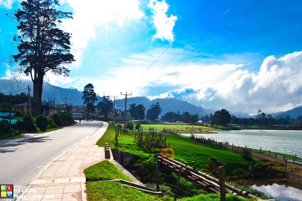 |
Gregory’s Lake This is a man-made tank, named after Sir William Gregory, Governer of the then Ceylon from 1872 to 1877. The swamp, which existed at this location, was converted into the water body of the Lake Gregory by damming Nanu Oya stream. This is a unique artificial wetland created in the heart of the high altitude city of Nuwara Eliya. It is located just 610 m below the Pidurutalagala peak, which is the highest peak in Sri Lanka. The Lake is bounded on all sides by roads, and the surrounding area has been severely altered by agricultural expansion, and urban sprawl. Because of the Lake’s aesthetic value and scenic attraction, many holiday homes and tourist hotels have been established around it. |
| More details Maps |
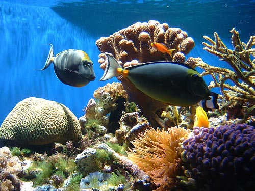 |
Gulf of Mannar Reefs The Gulf of Mannar has some of the most extensive reef formations and marine seagrass beds in the country. In addition to the coral reef systems of the Bar Reef, there exist several other reef formations to the south off Kandakuliya and Talawila, and northwards towards Mannar, including reefs off Silavaturai and Vankalai. The status of reefs within the northern Gulf of Mannar are not well known due to a lack of access, but many reefs in the southern Gulf of Mannar are now in a degraded condition due to overfishing and the use of destructive fishing methods. However, the area supports high species diversity due to its extent and variety of habitats. |
| More details Maps |